Natural Disasters in Vancouver & Camas WA | Your Guide
Looking for your ultimate guide to natural disasters in Vancouver and Camas, WA? Well, you’ve come to the right place! In this video by Living in Vancouver & Camas Washington, the host addresses the common questions and concerns surrounding natural disasters in the area. They reveal that tornadoes and hurricanes are not a threat in Vancouver and Camas, and windstorms and flash floods are also rare occurrences. Hail storms can happen but are not severe enough to cause damage. However, it’s important to note that the area is located on the Ring of Fire, and while large wildfires are not common, smaller ones can occur in rural areas. The biggest risk comes from earthquakes and tsunamis, as the region is situated on the Cascadia Subduction Zone. Landslides are also relatively infrequent but can happen in certain areas with unstable soil. Overall, the area is deemed to have a low risk for major natural disasters. So, if you’re considering a move to Vancouver or Camas, rest assured that you can enjoy the beauty of the Pacific Northwest without the worry of frequent natural disasters!
Understanding the Geographical Context
Location and geographical overview of Vancouver and Camas WA
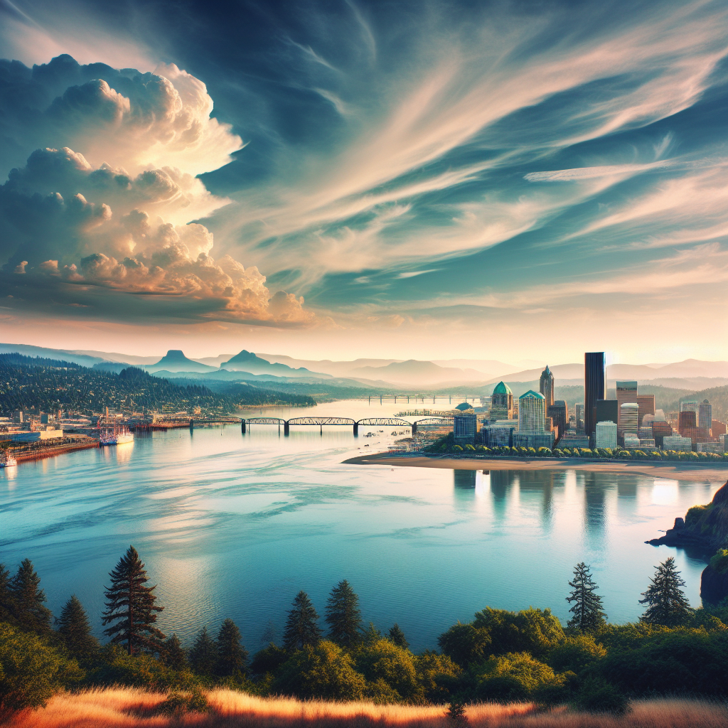
Vancouver and Camas WA are located in the southwestern part of Washington State, near the border with Oregon. Vancouver is situated on the northern bank of the Columbia River, while Camas is a smaller city located slightly east of Vancouver. Both cities are part of Clark County.
Explanation of the Ring of Fire and the Cascadia Subduction Zone
The region where Vancouver and Camas are located is within the Ring of Fire, which is a major area in the basin of the Pacific Ocean where a large number of earthquakes and volcanic eruptions occur. The Ring of Fire is home to about 75% of the world’s active volcanoes and experiences about 90% of the world’s earthquakes.
Within the Ring of Fire, the Cascadia Subduction Zone poses a significant geological hazard to the Vancouver and Camas area. The Cascadia Subduction Zone is a major fault line where the Juan de Fuca tectonic plate is being pushed beneath the North American plate. This subduction process can lead to powerful and destructive earthquakes.
Types of Natural Disasters in Vancouver and Camas WA
List and brief explanation of possible natural disasters in the area
While Vancouver and Camas have a relatively low risk for major natural disasters compared to other regions, there are still some potential hazards to be aware of. The main types of natural disasters that can occur in the area include earthquakes, tsunamis, wildfires, and landslides.
Frequency and severity of each natural disaster
Earthquakes are the highest risk natural disaster in the Vancouver and Camas area. While not as frequent as other areas along the Pacific coast, the region is due for a significant earthquake in the future. Tsunamis can also occur following a major earthquake along the coast.
Wildfires are a concern, especially in rural areas surrounding Vancouver and Camas. However, the risk of large, catastrophic wildfires is relatively low compared to regions with drier climates. Landslides are not common in the area, but there is a potential for them in certain areas with unstable soil.
Common misconceptions and confirmations regarding these natural disasters
One common misconception is that tornadoes and hurricanes can occur in Vancouver and Camas. However, the geographical location and climate make these types of storms unlikely in the region. Tornadoes and hurricanes are more common in the central and eastern parts of the United States.
Another misconception is that hailstorms can cause significant damage in the area. While hailstorms do occur, they are generally not severe enough to cause major property damage or endanger lives. Hailstorms in the region usually produce small hailstones.
Why Tornadoes and Hurricanes Don’t Occur
Explanation of the atmospheric conditions needed for tornadoes and hurricanes
Tornadoes require a specific set of atmospheric conditions to form, including warm, moist air colliding with cool, dry air and strong wind shear. These conditions are typically found in regions with a different climate than that of Vancouver and Camas. Hurricanes, on the other hand, require warm ocean waters to fuel their formation and intensification.
Weather patterns and conditions in Vancouver and Camas WA
The weather patterns in Vancouver and Camas are influenced by the moist marine air coming in from the Pacific Ocean. The region experiences a mild, temperate climate with cool, wet winters and warm, dry summers. This type of climate is not conducive to the formation of tornadoes or hurricanes.
Infrequency of Windstorms and Flash Floods
Discussion on the climatic conditions that lead to windstorms and flash floods
Windstorms are relatively infrequent in Vancouver and Camas due to the moderate climate and the presence of natural barriers, such as mountains and forests, that help dissipate strong winds. Flash floods can occur during periods of heavy rainfall, particularly in areas with poor drainage or near rivers and streams.
Circumstances of past windstorms and flash floods in the regions
While windstorms do occur occasionally in the area, they are generally not severe enough to cause significant damage. Flash floods are also infrequent and tend to be localized events rather than widespread disasters. The region’s topography and drainage systems help mitigate the impact of heavy rainfall.
Risk of Hailstorms
The usual seasonality and severity of hailstorms
Hailstorms can occur in Vancouver and Camas throughout the year, but they are most common during the spring and summer months when thunderstorms are more frequent. However, the size of hailstones in the region is generally small and does not pose a significant risk to property or safety.
The impact of hailstorms on daily life and property
While hailstorms may be a temporary inconvenience, they are unlikely to cause major disruptions to daily life or significant property damage in Vancouver and Camas. The small size of hailstones minimizes the risk of injury or damage to vehicles, buildings, and other structures.
Wildfires in The Region
Assessment of wildfire tendencies in Vancouver and Camas WA
Vancouver and Camas are located in an area with a relatively low risk of large, catastrophic wildfires. The region benefits from a more temperate climate and higher levels of precipitation compared to other parts of the western United States. However, smaller wildfires can still occur in rural areas, particularly during periods of dry weather.
Safety measures and precautions taken to avoid wildfires
Local authorities and communities in Vancouver and Camas take proactive measures to prevent wildfires and ensure public safety. These measures include implementing fire prevention strategies, conducting controlled burns to reduce fuel loads, and promoting public awareness of fire safety practices. Residents are encouraged to maintain defensible space around their properties and follow local fire safety guidelines.
Volcanic Activity in Vancouver and Camas WA
Historical context of volcanic activity in the region
The Vancouver and Camas area is part of the Cascade Range, which is known for its volcanic activity. The most notable eruption in recent history was the eruption of Mount St. Helens in 1980. This eruption resulted in the loss of several lives and caused significant damage to surrounding areas.
Measure of risk and preparedness for possible future eruptions
While the risk of volcanic eruptions in the Vancouver and Camas area is relatively low, it is not entirely eliminated. Volcanic monitoring systems are in place to detect any signs of volcanic unrest, and evacuation plans and emergency response strategies have been developed to ensure the safety of residents in the event of a future eruption.
The Threat of Earthquakes and Tsunamis
Understanding why the region is prone to earthquakes
The Vancouver and Camas area is located on the Cascadia Subduction Zone, where the Juan de Fuca plate is being pushed beneath the North American plate. This subduction process creates intense pressure and stress, leading to frequent earthquakes along the fault line.
Potential for tsunamis following an earthquake
In the event of a major earthquake along the Cascadia Subduction Zone, there is a potential for tsunamis to occur along the coastal areas of Vancouver and Camas. Tsunamis are caused by the displacement of water due to the seismic activity of an earthquake.
Safety preparations and reactions during such occurrences
Local authorities and communities have developed comprehensive emergency response plans to address the threat of earthquakes and tsunamis. These plans include early warning systems, evacuation routes, and public education programs to ensure that residents are prepared and know how to respond in the event of a seismic event.
Landslide Risks
Identifying areas susceptible to landslides
Certain areas in the Vancouver and Camas region are more susceptible to landslides due to their topography and soil conditions. Steep slopes, areas with loose or unstable soil, and areas with heavy rainfall are more prone to landslides.
Predicting landslide occurrence based on weather and soil conditions
Scientists and geologists use various techniques to predict landslide occurrences, including monitoring rainfall patterns, ground movement, and soil stability. These tools help identify areas at higher risk for landslides and allow for early warning systems to be implemented.
Conclusion: Evaluation of Overall Risk
Assessing the overall risk of major natural disasters in Vancouver and Camas WA
Overall, Vancouver and Camas have a relatively low risk for major natural disasters compared to other regions. While there is a potential for earthquakes, tsunamis, wildfires, and landslides, the frequency and severity of these events are generally lower in the area.
Understanding how these risks impact housing and community planning
The risks associated with natural disasters in the Vancouver and Camas area influence housing and community planning. Building codes and regulations are designed to ensure structures can withstand potential hazards, and emergency response systems are in place to protect the community during emergencies.
Steps taken by the local community to mitigate the risks and ensure safety
The local community in Vancouver and Camas takes proactive measures to mitigate the risks associated with natural disasters. This includes implementing building codes and regulations, conducting public education campaigns, and coordinating emergency response plans. These efforts help ensure the safety and well-being of residents in the face of potential hazards.
In conclusion, while Vancouver and Camas face some risks of natural disasters such as earthquakes, tsunamis, wildfires, and landslides, the overall risk is relatively low compared to other regions. The geographical context, climate, and proactive measures taken by the community contribute to the safety and resilience of the area. By understanding these risks and being prepared, residents can continue to enjoy all that Vancouver and Camas have to offer without living in constant fear of catastrophic events.